

7,1 km | 10,5 km-effort


Tous les sentiers balisés d’Europe GUIDE+


Gratisgps-wandelapplicatie
 SityTrail
IGN / Geografische instituten
SityTrail World
De wereld gaat voor u open
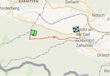
Tocht Te voet van 5,5 km beschikbaar op Karinthië, Bezirk Villach-Land, Feistritz an der Gail. Deze tocht wordt voorgesteld door SityTrail - itinéraires balisés pédestres.
Trail created by Österreichischer Alpenverein, Zweig Villach.